Catalog Archive
Auction 133, Lot 427

"Patriae Antiquae inter Iuly et Caroli Magni Caesarum Romanorum Tempora Descriptio", Jansson, Jan

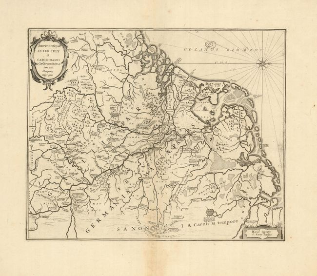
Subject: Low Countries

Period: 1660 (circa)

Publication:

Color: Black & White

Size:
18.5 x 15 inches
47 x 38.1 cm
Download High Resolution Image
(or just click on image to launch the Zoom viewer)

A compass rose orients this handsome map of the Low Countries and northern Germany with north to the right. The map describes part of Charlemagne's Empire centered on the Rhine River. The map was drawn by Herman Ewich and engraved by S. Saevry.

References:

Condition: B+

Very dark, early impression with wide original margins and light toning along the centerfold.

Estimate: $250 - $300

Unsold

Closed on 9/1/2010

Archived