Catalog Archive
Auction 133, Lot 392

"Monmouthshire", Moule, Thomas
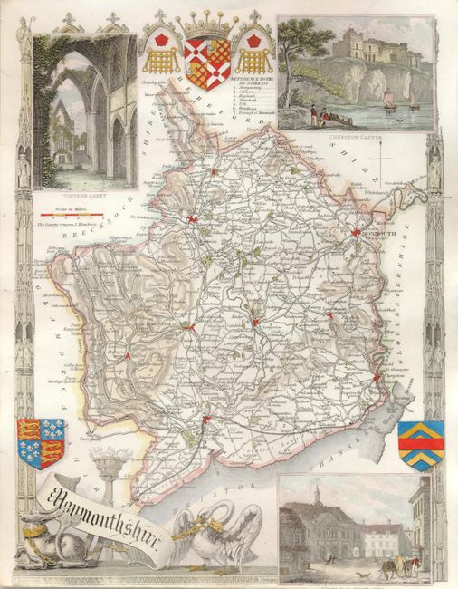
Subject: England

Period: 1850 (circa)

Publication: Barclays Complete and Universal English Dictionary

Color: Hand Color

Size:
7.8 x 10.3 inches
19.8 x 26.2 cm
Download High Resolution Image
(or just click on image to launch the Zoom viewer)

Thomas Moule (1784 – 1851) was a writer, bookseller, publisher, topographer and a scholar in heraldry. His varied career led him in 1830 to produce a series of English county map based on his own travel. He wrote that he has “with expensive diligence personally visited every county in England, excepting only Devonshire and Cornwall.” His maps were delicately engraved on steel in a highly decorative style, featured such embellishments as armorial bearings, figures, fancy borders and vignettes of local interest. This amount of ornamentation in mapmaking was unusual for the period as most mapmaker’s were instead creating scientifically accurate, austere works. His series of county maps were originally published in separate sections for each county (1830-32), then subsequently published in a two-volume work: The English Counties Delineated…, (1836). Beginning in 1841, the maps appeared in Barclays Complete and Universal English Dictionary.

Decorative steel engraved map with detailed information of the counties, cities, towns, roads, canals and parks located throughout the shire. With vignette views of Tintern Abbey, Chepstow Castle, and Town Hall Monmouth as well as coats of arms . Decorative border and banner style cartouche flanked by a dog and a swan.

References:

Condition: B+

The map image is fine except for a short tear from lower margin that enters the inset about 1/2", well closed on verso. Fine impression and great color.

Estimate: $80 - $100

Sold for: $60

Closed on 9/1/2010

Archived