Catalog Archive
Auction 133, Lot 356

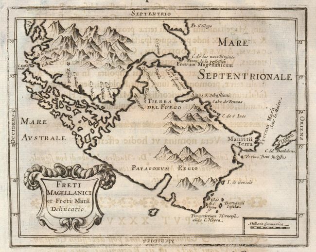
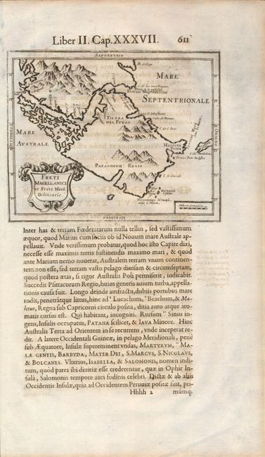
"Freti Magellanici et Freti Marii Delineatio", Morisot, Claude Barthelemy

Subject: Strait of Magellan

Period: 1643 (published)

Publication: Orbis Maritimi sive Rerum in Mari…

Color: Black & White

Size:
6.5 x 5.2 inches
16.5 x 13.2 cm
Download High Resolution Image
(or just click on image to launch the Zoom viewer)

This rare map of the Strait of Magellan appeared in the first comprehensive book on naval and maritime history. The map is printed on a sheet (8.3" x 14") with Latin text on the lower half and a full page text on the verso. This map shows a large island of Tierra del Fuego to the south of the strait and an un-named land to the north, both covered with mountains. There is a decorative title cartouche in the lower left. We find no prior recorded sales of this map.

Morisot (1592-1661) was one of the great intellectuals of his time and his works enjoyed great success. Orbis Maritimi is an extensive encyclopedia of everything relating to maritime affairs. The great European expeditions to the coasts of Africa and North America were extensively described. The book contained 44 engraved plates including 23 maps. Later editions did not contain the plates, thus they are quite rare.

References:

Condition: B+

The map is a dark, early impression with no flaws except some general text offsetting from the adjacent page.

Estimate: $250 - $350

Sold for: $325

Closed on 9/1/2010

Archived