Catalog Archive
Auction 133, Lot 344

"A Map of the Caracas", Carey, Mathew

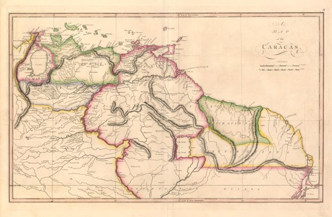
Subject: Northern South America

Period: 1814 (published)

Publication: General Atlas

Color: Hand Color

Size:
20.7 x 12.5 inches
52.6 x 31.8 cm
Download High Resolution Image
(or just click on image to launch the Zoom viewer)

This precisely engraved map covers the region east of Lake Maracaibo and north of the equator. The map was issued during the tumultuous Venezuelan War of Independence and civil war which engulfed the region. The rebel provinces of Venezuela and Varinas are shown along with the provinces (colored in pink) that remained loyal to Spain. The map extends through Guiana, which is divided into Spanish, Dutch, French and Portuguese colonies. The title reflects the Caracas Junta that led the Venezuelan fight for independence.

References:

Condition: A

Sharp impression and original outline color.

Estimate: $150 - $200

Sold for: $120

Closed on 9/1/2010

Archived