Catalog Archive
Auction 133, Lot 283

"Sketch of the Country between South Pass & the Great Salt Lake", U.S. Government

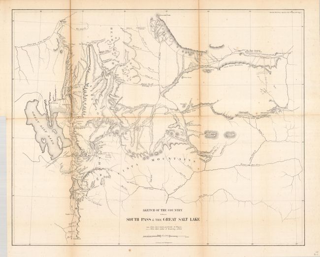
Subject: Utah and Wyoming

Period: 1858 (published)

Publication: Senate Doc. 11, 35th Congress 1st Session.

Color: Black & White

Size:
21.5 x 17.5 inches
54.6 x 44.5 cm
Download High Resolution Image
(or just click on image to launch the Zoom viewer)

This notable map portrays the region and the emigrant routes into Salt Lake City. South Pass was the famous gateway through the central Rocky Mountains. This pass was first seen by white men in 1812, but remained largely unknown until disclosed to Jedidiah Smith by the Crow Indians. After 1832, it became the principle route for emigrants heading further west. The map shows the Mormon communities from just below Nephi to Ogden and as far north as Fort Hall, Idaho; it continues eastward to include Bridger's Pass in Wyoming, Brown's Hole, and the watershed of the Green, Uintah, and White Rivers. Marked on the map are lines showing routes practical for wagons and the routes of earlier exploring parties. Stansbury's route of 1850 is traced and labeled.

References: Wheat (TMW) #958.

Condition: B+

Good impression and professionally backed with Japanese tissue. Some toning on folds, as is common. A little scattered foxing.

Estimate: $100 - $160

Sold for: $75

Closed on 9/1/2010

Archived