Catalog Archive
Auction 133, Lot 171
"Map of the States of Mississippi, Louisiana, and the Arkansas Territory", Hinton, John
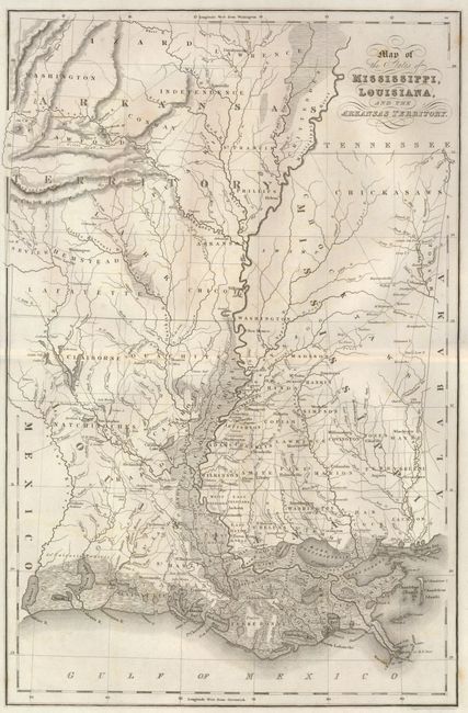
Subject: Southern United States
Period: 1832 (circa)
Publication: History of the United States of America…
Color: Black & White
Size:
10.5 x 16 inches
26.7 x 40.6 cm
Download High Resolution Image
(or just click on image to launch the Zoom viewer)
(or just click on image to launch the Zoom viewer)