Catalog Archive
Auction 133, Lot 139

"States of America", Nuttall, Fisher & Dixon

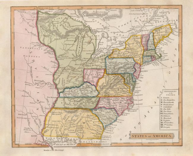
Subject: Eastern United States

Period: 1814 (dated)

Publication:

Color: Hand Color

Size:
8.5 x 7 inches
21.6 x 17.8 cm
Download High Resolution Image
(or just click on image to launch the Zoom viewer)

This attractive, small map of the young nation extends from the Dist. of Main south to Georgia and just past the Mississippi River to show part of the expansive new Louisiana Territory. Includes all of West Florida and just a strip of East Florida. Georgia's western boundary is the Mississippi, and the large, unnamed Northwestern Territory contains the lands that would become Illinois, Michigan, Indiana, and Wisconsin. Ohio's northern border is truncated so that it is well south of Lake Erie. Filled with fascinating place names including Kill Buck Town. The legend listing fourteen states is contained in a double line cartouche block. The newly formed Tennessee Government is delineated and named. Various tribes are indicated throughout.

References:

Condition: A

Some soiling or light foxing in generous side margins. Map image is fine.

Estimate: $350 - $450

Sold for: $210

Closed on 9/1/2010

Archived