Catalog Archive
Auction 133, Lot 111

"Carte des Lacs du Canada…", Bellin, Jacques Nicolas

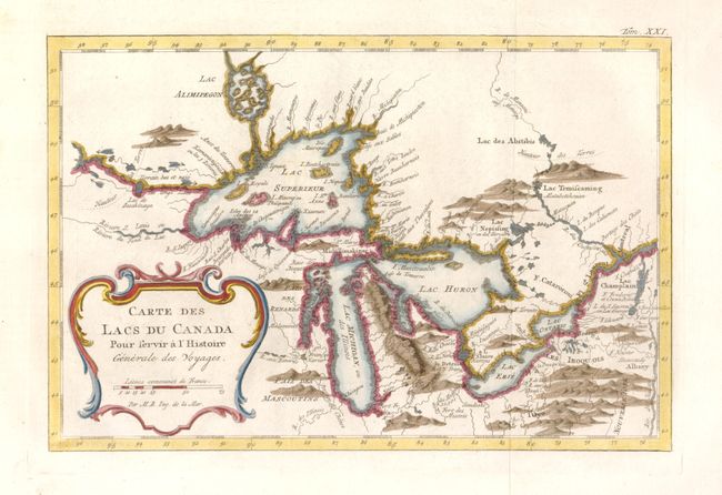
Subject: Colonial United States and Canada - Great Lakes

Period: 1777 (published)

Publication: Histoire Generale des Voyages

Color: Hand Color

Size:
11.2 x 7.4 inches
28.4 x 18.8 cm
Download High Resolution Image
(or just click on image to launch the Zoom viewer)

This is an excellent French & Indian War period map depicting the five Great Lakes. While this map uses the same title as Bellin's prototype map of the Great Lakes, published in Charlevoix’s Histoire et Description Generale de la Nouvelle France in 1744, it has been updated with information from Bellin's similar map of 1755. Lakes Erie and Ontario are more accurately defined and the spurious islands in Lake Huron have been eliminated. However, several large, bogus islands still remain in Lake Superior, including I. Minong (called I. Philippeaux on some issues) and I. Pontchartrain. The Michigan peninsula is still misshapen with a massive mountain range down its center. Lac Alimipegon appears north of Lake Superior. Numerous forts are located: S. Ignace, Niagara, des Miamis, and Toronto to mention a few.

References: Kershaw #955; cf Portinaro & Knirsch plt. #CXXVI.

Condition: A+

Estimate: $475 - $550

Sold for: $400

Closed on 9/1/2010

Archived