Catalog Archive
Auction 132, Lot 623

"Imperium Sinicum Quindecupartitum", Kircher, Athanasius

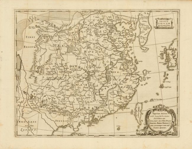
Subject: China and Korea

Period: 1670 (circa)

Publication:

Color: Black & White

Size:
15 x 11.7 inches
38.1 x 29.7 cm
Download High Resolution Image
(or just click on image to launch the Zoom viewer)

This fine, scarce map of China and Korea is based on the work compiled by Jesuit Father Martino Martini. Father Martini's map was gathered from Chinese sources between 1643 and 1650, and it greatly advanced European knowledge of the region including the correct locations of many cities and topographical features. The trade route between Canton and Peking is noted and the Great Wall and the Gobi Desert are both graphically pictured. This is Kircher's first copperplate engraving, which was followed by a second version with different cartouches, but the same title.

References:

Condition: A+

Minor toning in margins, still overall fine.

Estimate: $1,000 - $1,200

Unsold

Closed on 6/2/2010

Archived