Catalog Archive
Auction 132, Lot 553
"A New Map of Latium, Etruria, and as much of Antient Italy, as lay Between Gallia Cisalpina and Graecia Magna, Shewing their Principal Divisions, Cities, Towns, Rivers Mountains &c.", Wells, Edward
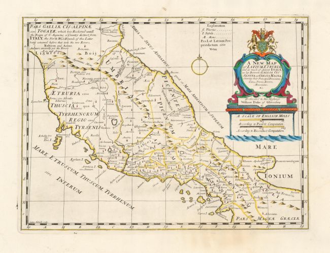
Subject: Italy
Period: 1714 (published)
Publication: A New Sett of Maps both of Antient and Present Geography
Color: Hand Color
Size:
19.2 x 14.2 inches
48.8 x 36.1 cm
Download High Resolution Image
(or just click on image to launch the Zoom viewer)
(or just click on image to launch the Zoom viewer)