Catalog Archive
Auction 132, Lot 508

"Geographische Mauth-Charte von Bayern", Lotter, Tobias Conrad
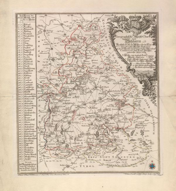
Subject: Germany

Period: 1764 (circa)

Publication:

Color: Hand Color

Size:
10.2 x 11.5 inches
25.9 x 29.2 cm
Download High Resolution Image
(or just click on image to launch the Zoom viewer)

This interesting chart illustrates the Bavarian transportation network. In the late 17th and early 18th centuries Bavarian dukes built toll roads to serve their monopolies. A sophisticated bureaucracy emerged to collect tolls and maintain roads, and new surveys were required to accurately portray the system. This map, produced by civil servant, Johann Franz Kohbrenner, for the toll administration was intended to illustrate the Mauth (toll) stations and excise-offices, including all commercial and agricultural roads.

References:

Condition: B+

A fold separation entering 1/2" into the map at right is closed on verso with archival tape.

Estimate: $150 - $200

Sold for: $75

Closed on 6/2/2010

Archived