Catalog Archive
Auction 132, Lot 455
"Veromanduorum Eorumque confinium Exactissima Descriptio", Ortelius, Abraham
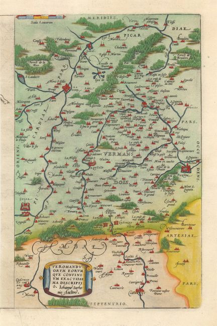
Subject: France
Period: 1580 (circa)
Publication: Theatrum Orbis Terrarum
Color: Hand Color
Size:
8.4 x 13.2 inches
21.3 x 33.5 cm
Download High Resolution Image
(or just click on image to launch the Zoom viewer)
(or just click on image to launch the Zoom viewer)