Catalog Archive
Auction 132, Lot 327

"Amer. Sep. Partie du Mexique. No. 65", Vandermaelen, Philippe Marie Guillaume
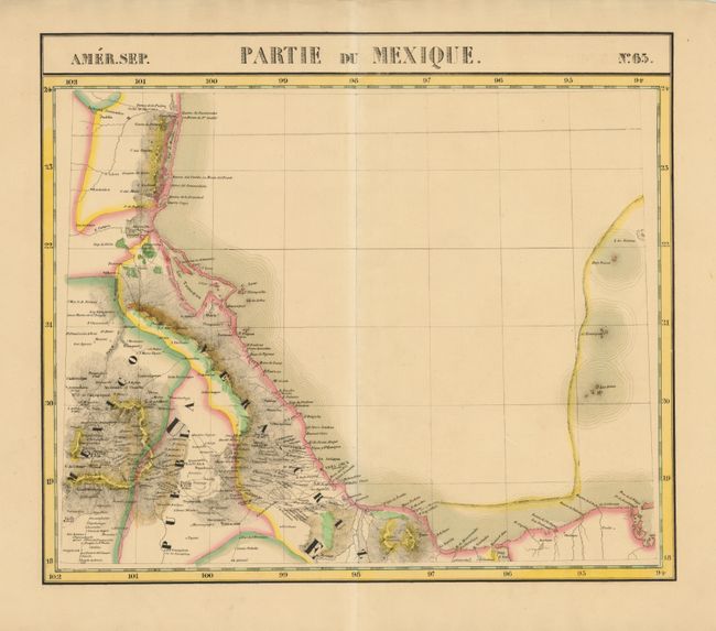
Subject: Mexico

Period: 1825 (circa)

Publication: Atlas Universel

Color: Hand Color

Size:
21.2 x 18.4 inches
53.8 x 46.7 cm
Download High Resolution Image
(or just click on image to launch the Zoom viewer)

This uncommon map covers the east of coast of Mexico and inland to include Mexico City. The information was gathered from Spanish sources and Humboldt’s Carte Generale...Nouvelle Espagne (1809). The Atlas Universel was the first atlas to present all the maps on the same scale (1: 1,641,836) about one inch to 26 miles, with each map covering an area of approximately 20 degrees longitude (from Paris) and 6 degrees of latitude. It is also considered to be the first lithographic atlas ever published. The maps were meant to be joined together to form a huge globe measuring 7.775 meters in diameter. Only one edition of the atlas was published in 1825-27, and the subscription list shows that just 810 copies were sold; thus the maps are very scarce on the market today.

References:

Condition: A

Rich original color with slightly toned paper. There are a few minor edge tears well away from the map.

Estimate: $275 - $350

Unsold

Closed on 6/2/2010

Archived