Catalog Archive
Auction 132, Lot 287

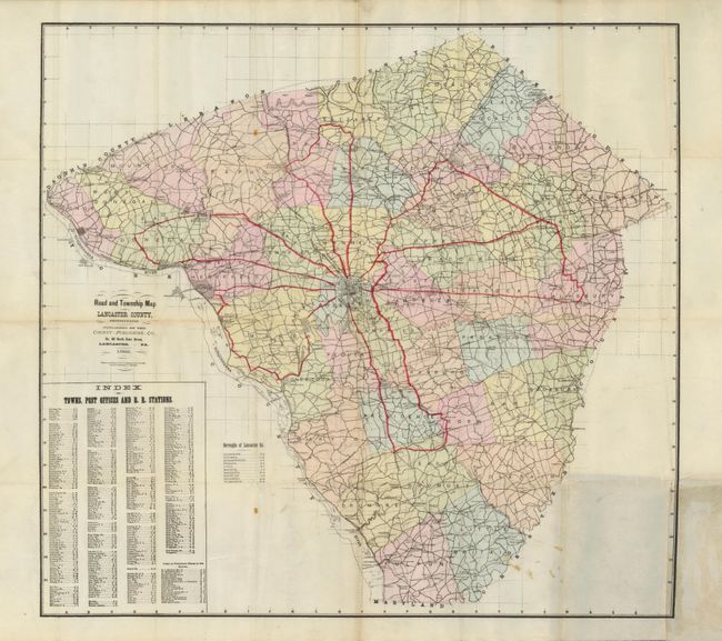
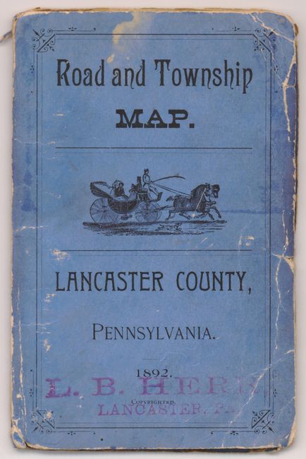
"Road and Township Map of Lancaster County, Pennsylvania",

Subject: Pennsylvania

Period: 1892 (dated)

Publication:

Color: Printed Color

Size:
21.8 x 20 inches
55.4 x 50.8 cm
Download High Resolution Image
(or just click on image to launch the Zoom viewer)

This is a very scarce pocket map showing all of Lancaster County, one of the largest Amish populations in the Untied States. It is an example of a pre-auto road map in the form of a local county map. The map has an index of towns and looks similar to maps that appeared in county atlases. Post offices as well as villages are noted in each of the towns, the townships are individually hand colored and the main roads leaving Lancaster city are hand colored in red. Printed on thin banknote paper, the map folds into blue paper covers with the same title. Published by the County Publishing Co., No. 48 North Duke Street, Lancaster, PA and trademarked by A.S. Johns and T.J. Hughes. The original booksellers red stamp is on both covers "L. B. Herr, Books and Stationery, 53 N. Queen St., Lancaster, Pa."

References:

Condition: B+

The map has a stain where pasted into covers. There are a few areas of archival tape at the folds on the verso. The covers have some soiling and wear with cracks in blue paper.

Estimate: $140 - $180

Sold for: $100

Closed on 6/2/2010

Archived