Catalog Archive
Auction 132, Lot 242

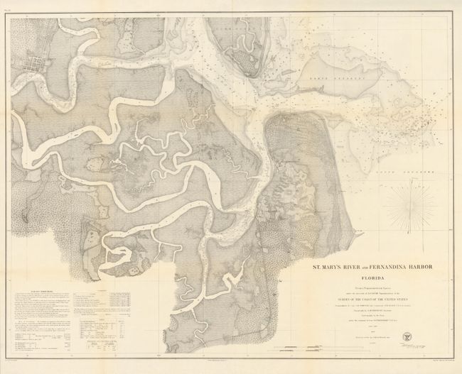
"St. Mary's River and Fernandina Harbor Florida", U.S. Coast Survey

Subject: Florida

Period: 1862 (dated)

Publication:

Color: Black & White

Size:
31.7 x 24.5 inches
80.5 x 62.2 cm
Download High Resolution Image
(or just click on image to launch the Zoom viewer)

The Office of Coast Survey is the oldest U.S. scientific organization, dating from 1807 when Congress directed that a "survey of the coast" be carried out. By 1836, it was called the U.S. Coast Survey and in 1878, the name was changed to the U.S. Coast and Geodetic Survey. Today the Office of Coast Survey is a division of the National Oceanic and Atmospheric Administration NOAA.

The survey teams, composed of civilians as well as Army and Naval officers, charted the nation's waterways and produced a wide array of reports, survey charts, hydrographic studies of tides and currents, astronomical studies and observations, and coastal pilots. These charts are an important record of the changing nature of the nation's coastlines. In additional to coastal charts, the U.S. Coast and Geodetic Survey produced land sketches, Civil War battle maps, and the early aeronautical charts.

This highly detailed chart details the St. Mary River delta with grid plans of the cities of St. Mary’s and Fernandina. It shows Fort Clinch and Old Fernandina on Amelia Island. The chart contains a wealth of practical information for the mariner including soundings, safe harbors and sailing directions. It is from a Trigonometrical Survey under the direction of A.D. Bache. The original survey was conducted by Capt. J.H. Simpson and Lieutenant A. W. Evans, with topography by A.M. Harrison in 1857, and a resurvey of the bar by C.O. Boutelle in 1862.

References:

Condition: A

Issued folded, now flattened and professionally backed with light Japanese tissue.

Estimate: $180 - $230

Sold for: $130

Closed on 6/2/2010

Archived