Catalog Archive
Auction 130, Lot 857

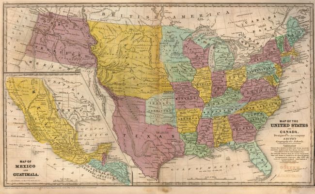
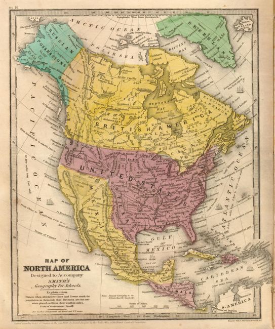
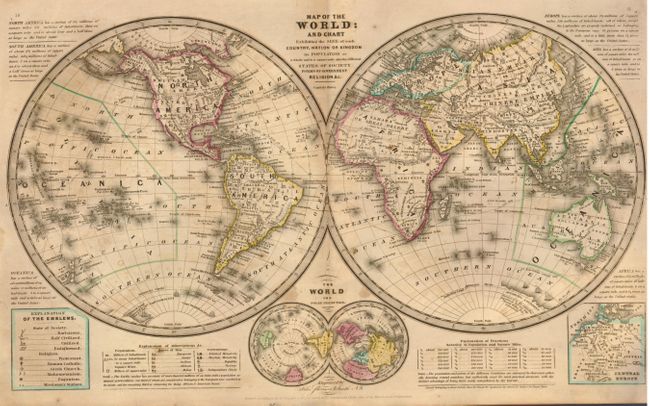
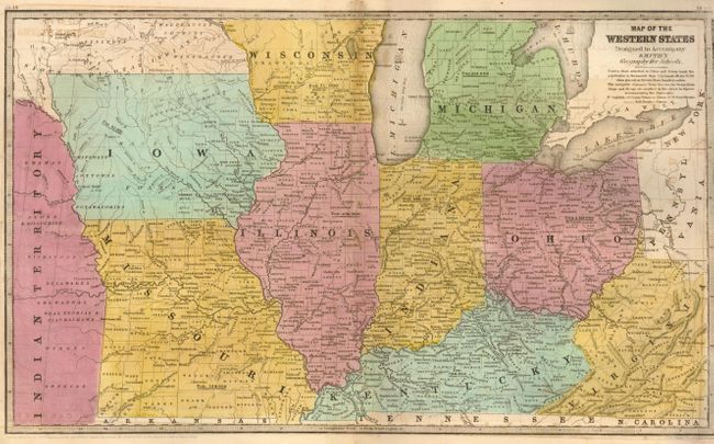
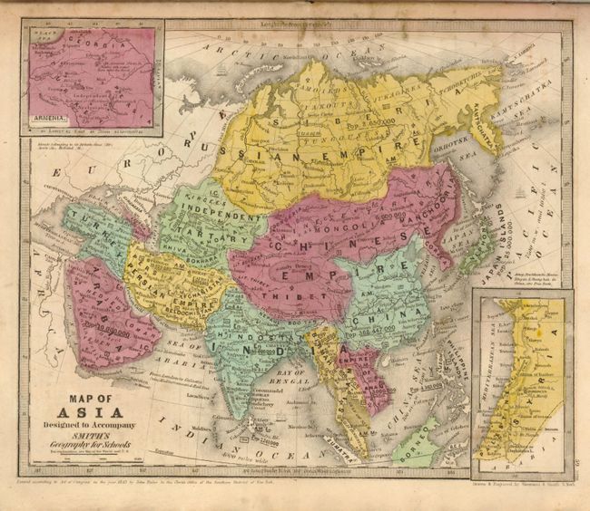
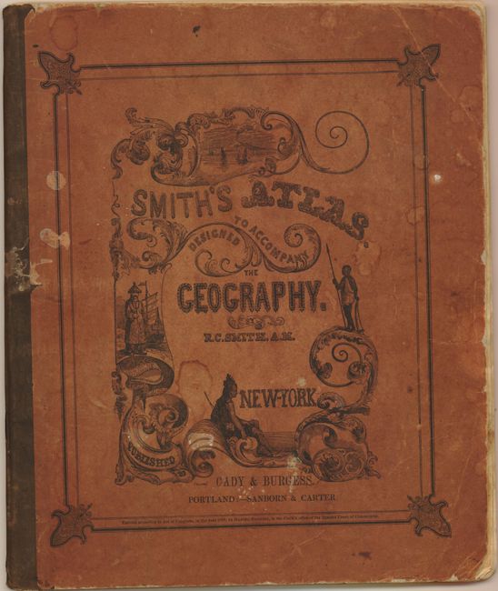
"Smith's Atlas, Designed to Accompany the Geography", Smith, Roswell C.

Subject: Atlases

Period: 1839 (dated)

Publication: Cady & Burgess,

Color: Hand Color

Size:
9.5 x 11.5 inches
24.1 x 29.2 cm
Download High Resolution Image
(or just click on image to launch the Zoom viewer)

This small school atlas contains 17 maps of the world, continents, regions in the United States, West Indies, Britain, Central Europe, and Oceania. Texas is shown as an independent republic on the world map. However, on the maps of North America and the United States, it is shown subsequent to its annexation into the U.S. with the 'stovepipe' configuration of the panhandle. Also of interest on the U.S. map is the Great American Desert, which embraces the region west of the 101st meridian to the Rocky Mountains, and from the Arkansas to the North Fork of the Platte. The country west of Arkansas and Missouri, and between the Platte and the Red River, is called Indian Territory, and the only other western territories are the huge Nebraska and Oregon territories. Copyright dated 1839, but most likely published circa 1846 by Cady & Burgess. Original illustrated paper covers.

References:

Condition: B+

The maps all have strong, early impression and bright original hand coloring. They vary B+ to A based on occasional offsetting or soiling with the occasional foxing spot. Covers a little bumped at corners and some water spots. Overall a nice example of this atlas.

Estimate: $350 - $450

Sold for: $230

Closed on 12/2/2009

Archived