Catalog Archive
Auction 130, Lot 703

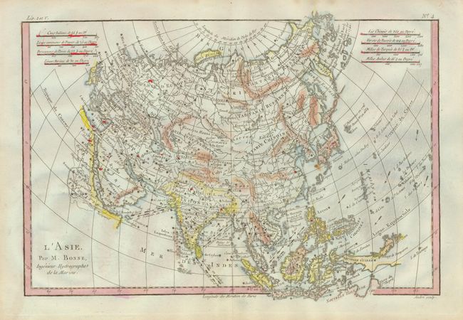
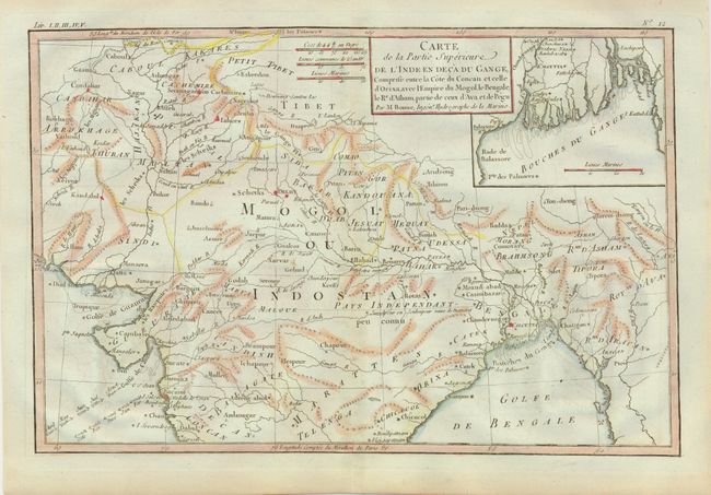
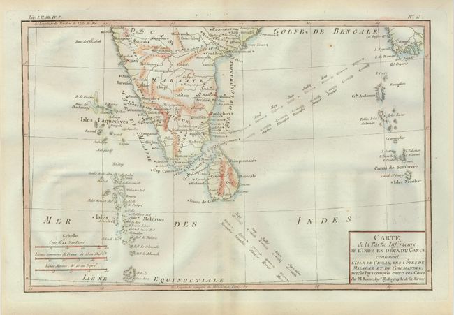
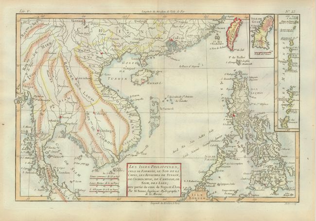
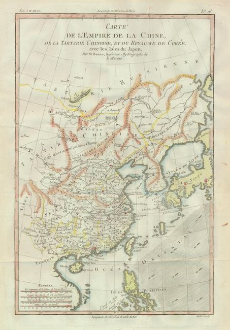
"[Lot of 5] L'Asie [and] … Partie Superieure L'Inde en Deca du Gange… [and] … Partie Inferieure de l'Inde [and] Les Isles Philippines… Laos [and] L'Empire de la Chine…", Bonne, Rigobert

Subject: Asia

Period: 1779 (circa)

Publication:

Color: Hand Color

Size:
12.5 x 8.5 inches
31.8 x 21.6 cm
Download High Resolution Image
(or just click on image to launch the Zoom viewer)

Nice set of Asian maps engraved by Andre. Each shows the directions of the trade winds and includes several different distances scales. The map of the continent of Asia includes all of South East Asia and also shows the new Russian discoveries in the North Pacific with a group of islands labeled Archipel du Nord. The map of northern India includes an inset of the Ganges Delta. The map of southern India includes very good detail of the Maldives. The map of the Philippines includes insets of Guan and the Mariana Islands. The map of China extends to include Korea, Japan and the northern Philippines. Sizes vary slightly.

References:

Condition: A

Estimate: $200 - $250

Sold for: $150

Closed on 12/2/2009

Archived