Catalog Archive
Auction 130, Lot 620
"The States of Italy, with their Islands, Corsica, Sardinia, Sicily & Malta, Describing the New Limits, as Confirmed by the Definitive Treaty of Paris 1815", Wyld, James
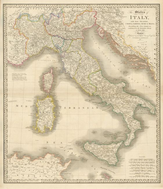
Subject: Italy
Period: 1843 (dated)
Publication: A New Atlas of Modern Geography
Color: Hand Color
Size:
21.8 x 25 inches
55.4 x 63.5 cm
Download High Resolution Image
(or just click on image to launch the Zoom viewer)
(or just click on image to launch the Zoom viewer)