Catalog Archive
Auction 130, Lot 525
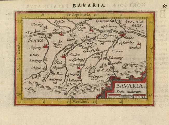
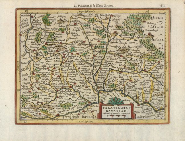
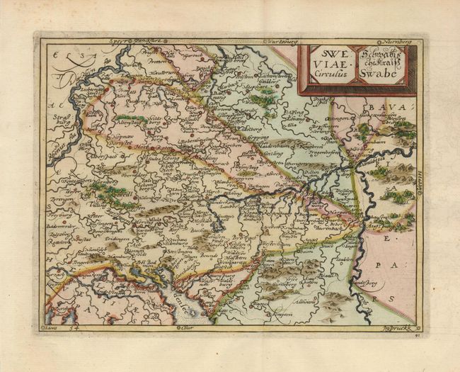
"[Lot of 3] Bavaria [and] Palantinatus Bavariae [and] Sweviae Circulus",
1 of 3
Subject: Germany
Period: 1609-61 (published)
Publication:
Color: Hand Color
Size:
See Description
Download High Resolution Image
(or just click on image to launch the Zoom viewer)
(or just click on image to launch the Zoom viewer)