Catalog Archive
Auction 130, Lot 512

"Plan de la Baye de Rose et des Cotes des Environs depuis le Port de Cadequie jusques au Cap St. Sebastien…", Ayrouard, Jacques
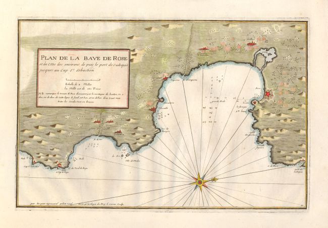
Subject: Spain

Period: 1735 (circa)

Publication: Recueil de plusieurs Ports ... de la Mer Mediterranee

Color: Hand Color

Size:
17.5 x 11.3 inches
44.5 x 28.7 cm
Download High Resolution Image
(or just click on image to launch the Zoom viewer)

This is a very uncommon chart illustrating part of the Catalonian seacoast just south of the French border. The map shows the towns and fortifications along with rivers and fields. Soundings, navigational hazards and anchorages are located along the coastline. Surprising little is known about Jacques Ayrouard and he only published this single book on the ports in the Mediterranean. He was a navigator for the French Royal Navy and dedicated his work to Jean Frederick Phelypeaux Comte de Maurepas, who was the Minister of the Navy to Louis XV.

References:

Condition: A+

Estimate: $375 - $450

Sold for: $250

Closed on 12/2/2009

Archived