Catalog Archive
Auction 130, Lot 502
"Partie Meridionale du Gouvernemt. General de Champagne qui comprend la Champagne propre, le Vallage, le Bassigny, le Senonois, et une partie de la Brie et du Perthois", Robert de Vaugondy, Gilles
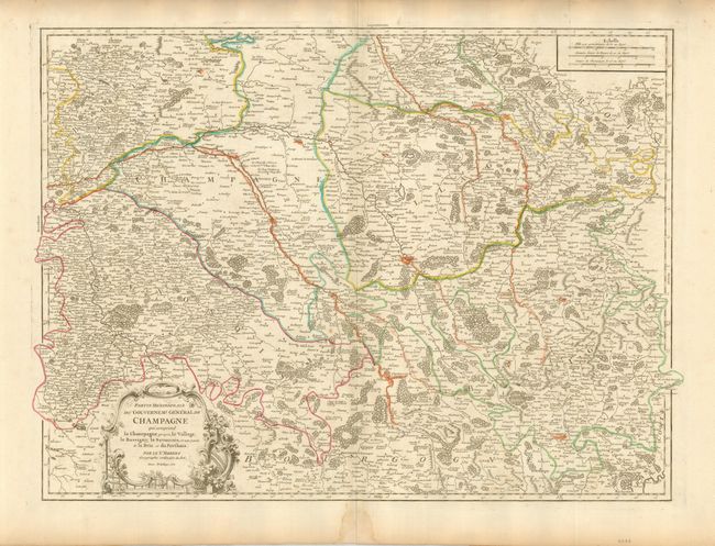
Subject: France
Period: 1752 (dated)
Publication: Atlas Universal
Color: Hand Color
Size:
25.2 x 19 inches
64 x 48.3 cm
Download High Resolution Image
(or just click on image to launch the Zoom viewer)
(or just click on image to launch the Zoom viewer)