Catalog Archive
Auction 130, Lot 450

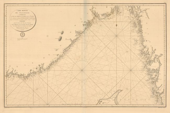
"Carte Reduite du Skagerak…", Depot de la Marine
Subject: Scandinavia

Period: 1813 (dated)

Publication:

Color: Black & White

Size:
36 x 23 inches
91.4 x 58.4 cm
Download High Resolution Image
(or just click on image to launch the Zoom viewer)

Fine, large sea chart of the strait running between Norway and the southwest coast of Sweden and the Jutland peninsula of Denmark, connecting the North Sea and the Kattegat Sea. The chart was drawn by Besancon and engraved by E. Collin.

References:

Condition: A+

There is a tiny repaired tear in the blank margin, well away from the map.

Estimate: $300 - $400

Sold for: $220

Closed on 12/2/2009

Archived