Catalog Archive
Auction 130, Lot 449
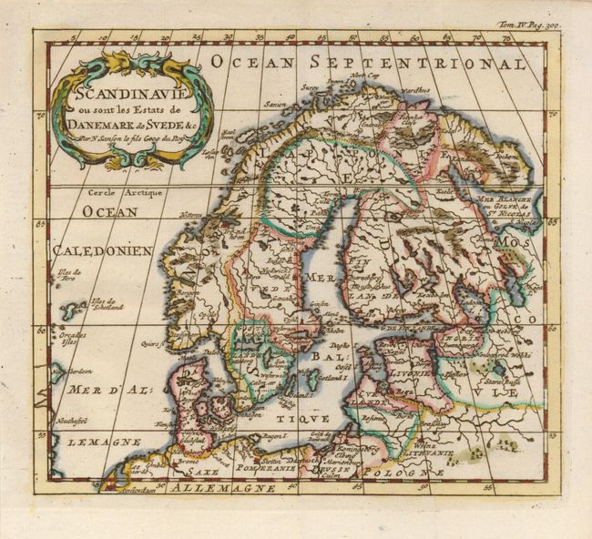
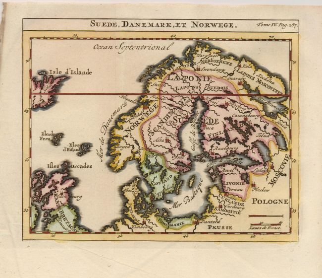
"[Lot of 2] Scandinavie ou sont les Estats de Danemark de Svede &c [and] Suede, Danemark, et Norwege", Sanson, Nicolas Fils
1 of 2
Subject: Scandinavia
Period: 1743 (published)
Publication:
Color: Hand Color
Size:
6.3 x 5.6 inches
16 x 14.2 cm
Download High Resolution Image
(or just click on image to launch the Zoom viewer)
(or just click on image to launch the Zoom viewer)