Catalog Archive
Auction 130, Lot 437
"Britannia Saxonica", Morden, Robert
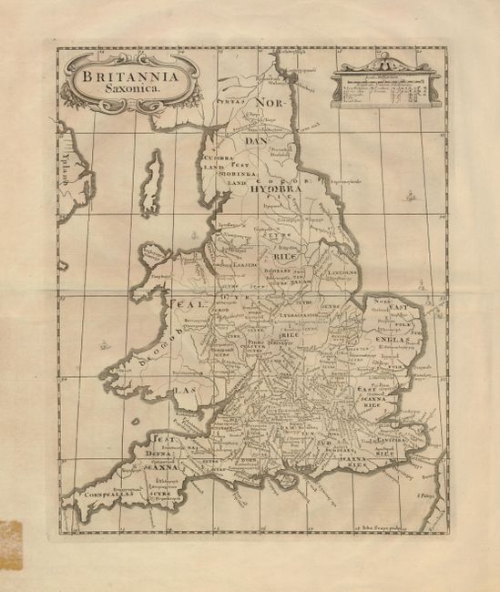
Subject: England & Wales
Period: 1695 (published)
Publication: Camden's Britannia
Color: Black & White
Size:
11.5 x 14.5 inches
29.2 x 36.8 cm
Download High Resolution Image
(or just click on image to launch the Zoom viewer)
(or just click on image to launch the Zoom viewer)