Catalog Archive
Auction 130, Lot 400

"L'Isola d'Islanda Divisa ne Suoi Distretti di nuova Projezione", Zatta, Antonio
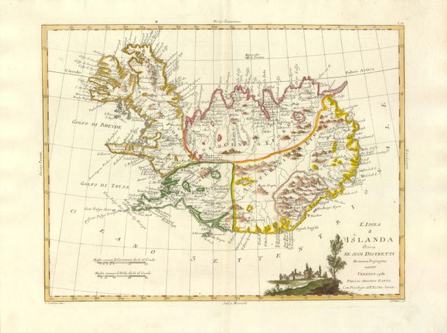
Subject: Iceland

Period: 1781 (dated)

Publication: Atlante Novissimo

Color: Hand Color

Size:
16.1 x 12.2 inches
40.9 x 31 cm
Download High Resolution Image
(or just click on image to launch the Zoom viewer)

In 1752 the Danish scholar, Niels Horrebow, published an important book and map about Iceland. His map, based on the previously unpublished Knoff survey, was a major departure from previous maps based on Bishop Gudbrandur Thorlaksson's map of more than 150 years earlier. Thus, it marked a turning point in the cartography of Iceland. This is an Italian version of this historic map. It map locates villages and churches and graphically delineates the mountains, rivers, lakes and forests.

References:

Condition: A+

There is a minor, professional repair on the centerfold, overall fine.

Estimate: $450 - $500

Unsold

Closed on 12/2/2009

Archived