Catalog Archive
Auction 130, Lot 288

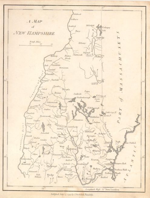
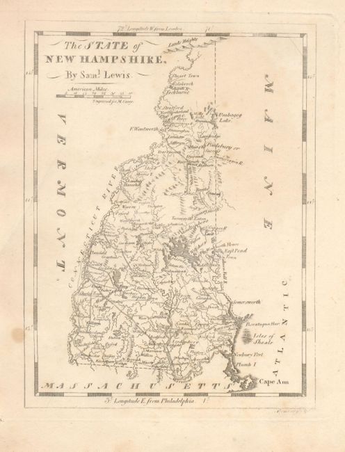
"[Lot of 2] A Map of New Hampshire [and] The State of New Hampshire",

Subject: New Hampshire

Period: 1794-1817

Publication:

Color: Black & White

Size:
See Description
Download High Resolution Image
(or just click on image to launch the Zoom viewer)

Nice pair of maps showing the rapid development taking place in the New England at the turn of the 18th century. The first map (6.8 x 8.8") was published by John Stockdale of London in 1794. It shows the lakes and rivers and a few settlements. The second map, by Samuel Lewis (5.5 x 7.3") was published in Philadelphia in 1817. The state now has a good transportation network of roads and trails and there is considerably more development in the northern region.

References: Cobb #67 & 92.

Condition: B+

There is some minor toning, mostly in the margins.

Estimate: $120 - $180

Sold for: $275

Closed on 12/2/2009

Archived