Catalog Archive
Auction 130, Lot 271

"Embouchures du Fleuve St. Louis ou Mississipi", Bellin, Jacques Nicolas
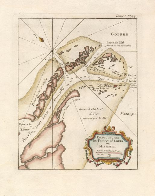
Subject: Louisiana

Period: 1763 (dated)

Publication: Le Petit Atlas Maritime…

Color: Hand Color

Size:
6.8 x 8.5 inches
17.3 x 21.6 cm
Download High Resolution Image
(or just click on image to launch the Zoom viewer)

This uncommon chart details the Mississippi River Delta as the river empties into the Gulf of Mexico. The map is oriented by a fleur-de-lys with north to the upper left. Fort Balise is shown on a small island at the mouth of the Southeast Pass and the channels includes soundings and trees and other debris are shown via icons. Jacques Nicolas Bellin had a distinguished 50-year career as one of France’s leading cartographers. He was the lead hydrographer to the French Navy upon the creation of France's hydrographic office, a member of the Académie de Marine and of the Royal Society of London. His maps of the French possessions in North America are particularly important.

References: Sellers & Van Ee #776; Tooley (MCC-96) #860.

Condition: A+

Estimate: $275 - $350

Sold for: $220

Closed on 12/2/2009

Archived