Catalog Archive
Auction 130, Lot 177

"United States", Teesdale, Henry

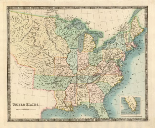
Subject: Eastern United States

Period: 1831 (dated)

Publication:

Color: Hand Color

Size:
16 x 13 inches
40.6 x 33 cm
Download High Resolution Image
(or just click on image to launch the Zoom viewer)

This map features a large Arkansas Territory that extends into today's Oklahoma. The map extends well into the West, here labeled the Great Desert and Missouri Territory, as distinct from the state of Missouri that is also shown. The Northwest Territory covers all of Wisconsin and northern Minnesota. The map is filled with information and locates many Indian tribes, forts, early settlements and topography. Inset on the same scale shows the southern half of Florida. Well engraved with fine detail throughout and surrounded in a keyboard-style border.

References:

Condition: A+

Sharp impression and original color.

Estimate: $250 - $300

Sold for: $190

Closed on 12/2/2009

Archived