Catalog Archive
Auction 130, Lot 121
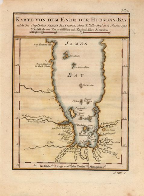
"Karte von dem Ende der Hudsons-Bay welche die Englander James Bay nennen", Bellin, Jacques Nicolas
Subject: Canada
Period: 1744 (dated)
Publication: Allegmeine Historie der Reisen zu Wasser und zu Lande
Color: Hand Color
Size:
5.5 x 7.5 inches
14 x 19.1 cm
Download High Resolution Image
(or just click on image to launch the Zoom viewer)
(or just click on image to launch the Zoom viewer)