Catalog Archive
Auction 130, Lot 110

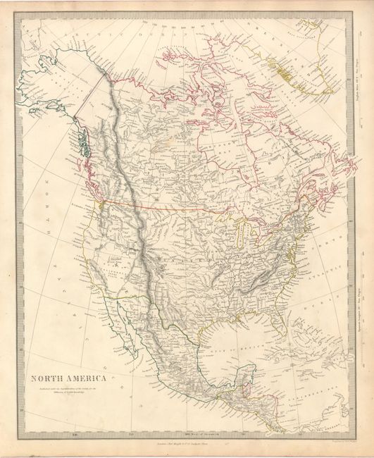
"[Lot of 2] North America [and] North America",
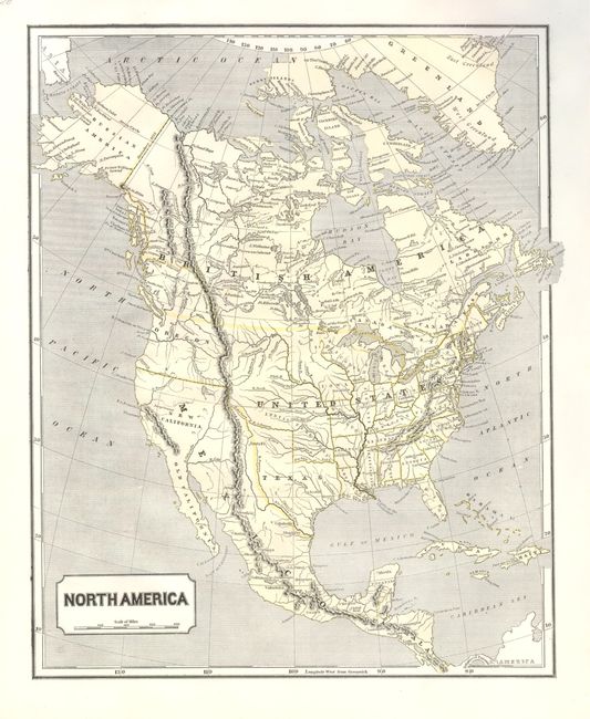
Subject: North America, Texas

Period: 1844-48 (published)

Publication:

Color:

Size:
12 x 15 inches
30.5 x 38.1 cm
Download High Resolution Image
(or just click on image to launch the Zoom viewer)

1) Morse & Breese, New York, 1844, Morse's North American Atlas, printed color. This map is a very early example of printed color. Sidney Morse invented the wax engraving method used to print this map. Features an Independent Texas. Mexico controls the Southwest and California, and Alaska is Russian America. The boundary above Oregon Territory is colored to show both the American claim into British Columbia and the eventually settled boundary. Large Indian Territory with no defined northern boundary, same for Iowa. Printed in yellow and black.

2) Society for the Diffusion of Useful Knowledge (SDUK), London, circa 1848, hand color. This map has good detail of watershed and mountains. It features a pre-Gadsden Purchase border with Mexico. The River S. Buenaventura extends to the Pacific from two branches, one originating from a large swamp in the Great Basin. The course of the Snake River is fairly accurate, but the Colorado River rushes to the Sea of Cortez in a straight line. Locates the 3 buttes in present-day Idaho (landmarks on the Oregon Trail west of Idaho Falls), the American Fur Depot, forts and much more. Filled with fascinating detail. Published by Baldwin & Cradock.

References:

Condition: A+

Both are fine. The SDUK map has a little soiling in upper blank margin.

Estimate: $250 - $300

Unsold

Closed on 12/2/2009

Archived