Catalog Archive
Auction 129, Lot 899

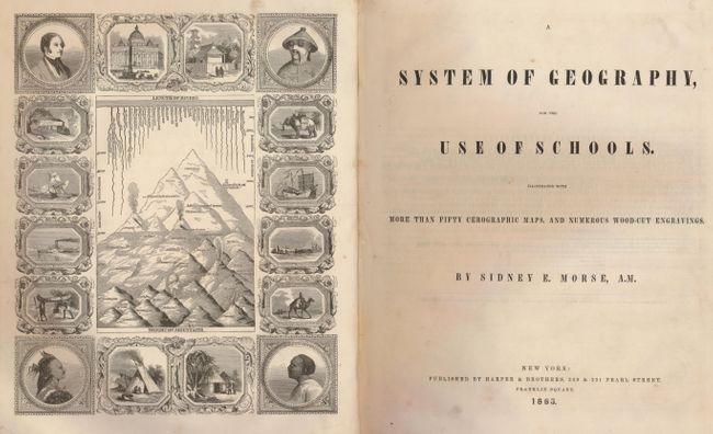
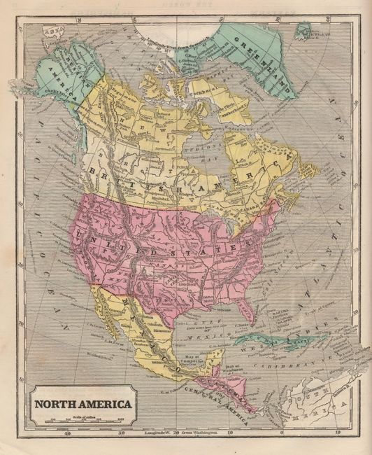
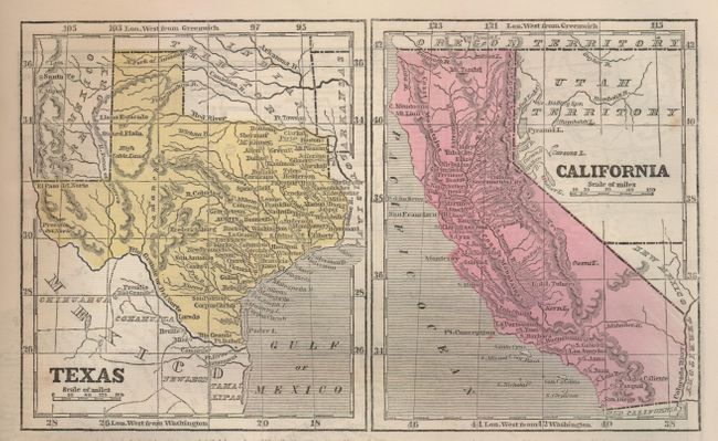
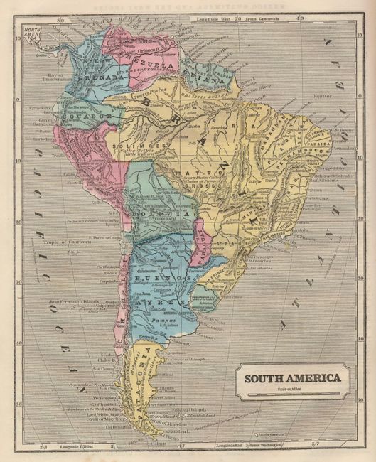
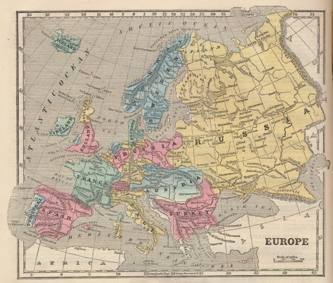
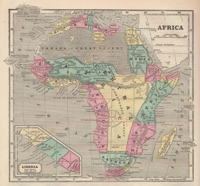
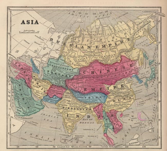
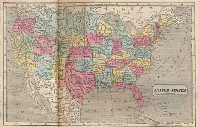
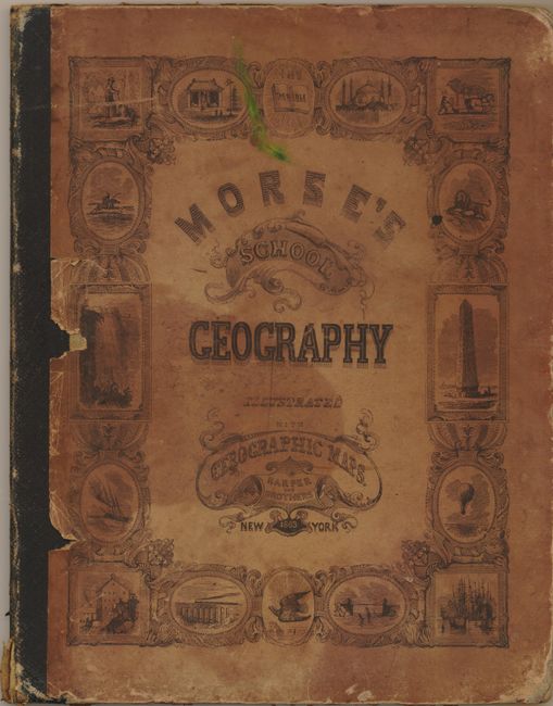
"System of Geography, for the Use of Schools. Illustrated with More Than Fifty Cerographic Maps, and Numerous Wood-Cut Engravings", Morse, Sidney Edwards

Subject: Geography Books

Period: 1863 (dated)

Publication:

Color: Printed Color

Size:
9.5 x 12.5 inches
24.1 x 31.8 cm
Download High Resolution Image
(or just click on image to launch the Zoom viewer)

Morse's popular series of geographies, with their easy to read maps and fact-filled text, quickly became a standard for American educators during the 19th century. This edition contains a total of 53 wax-engraved maps including a double-page map of the United States that features a large Utah Territory taking a portion of Nevada, and Arizona Territory includes the southern tip of Nevada. Idaho, Wyoming and Montana together form a huge unorganized region. The full page map of North America displays slightly earlier boundaries with a huge Utah extending to the Continental Divide and New Mexico Territory at its largest. Great engraved frontis has numerous individually framed vignettes of ships, people of the world, and at center is the thematic Height of Mountains and Length of Rivers. 4to. 72 pages. This is a complete example as published during the Civil War. Hardbound in original decorative paper covered boards with a black leather spine.

References:

Condition: B+

Pages and maps are near fine with only an occasional spot. The pictorial paper on front cover is lifting at inside edges with two areas of chipping, some staining, corners bumped.

Estimate: $200 - $250

Sold for: $150

Closed on 9/23/2009

Archived