Catalog Archive
Auction 129, Lot 888

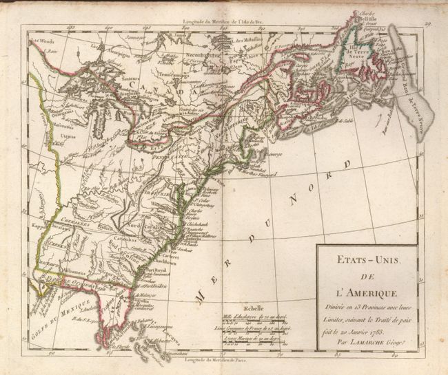
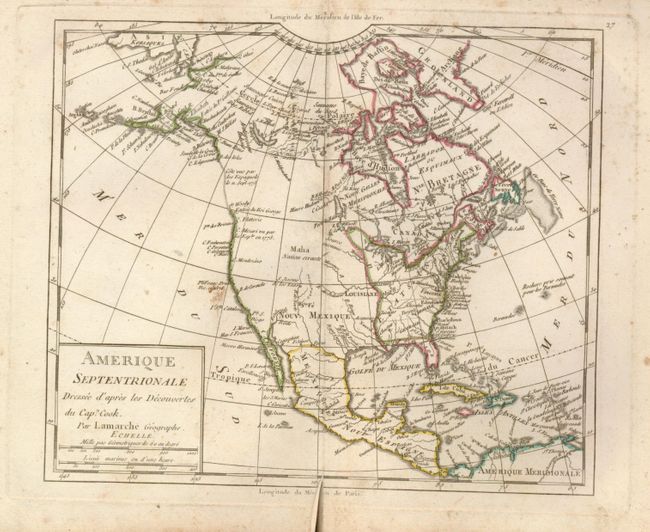
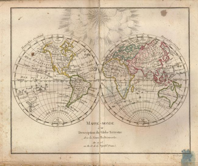
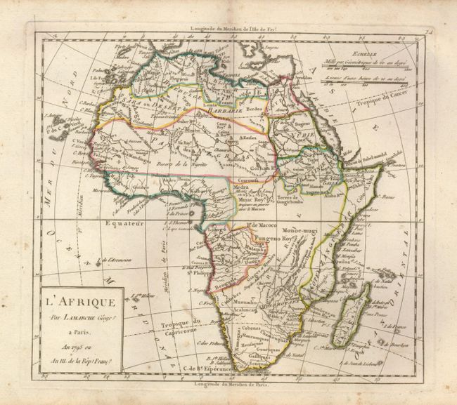
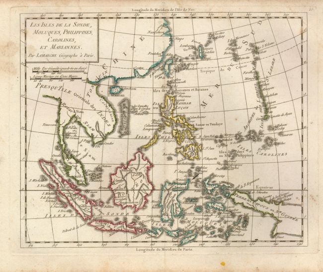
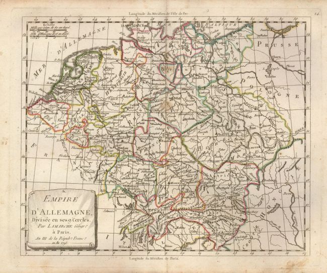
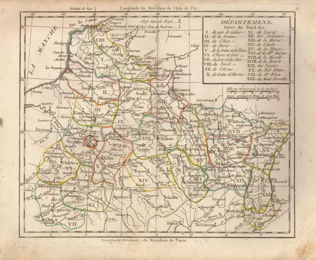
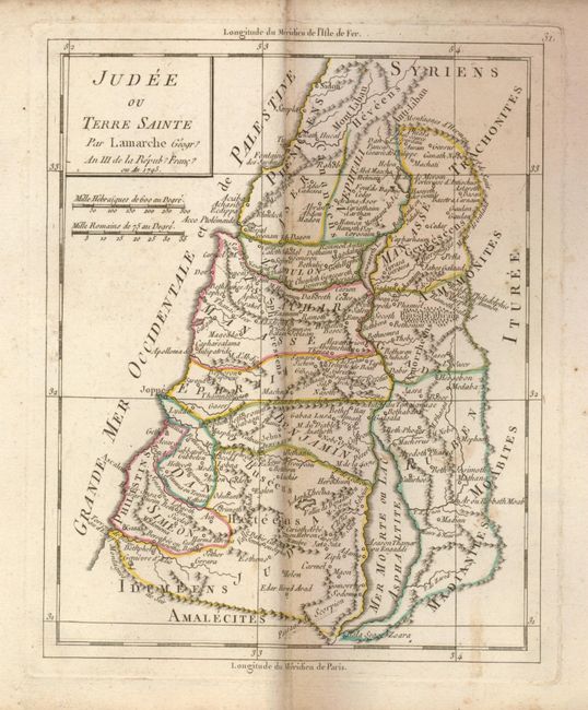
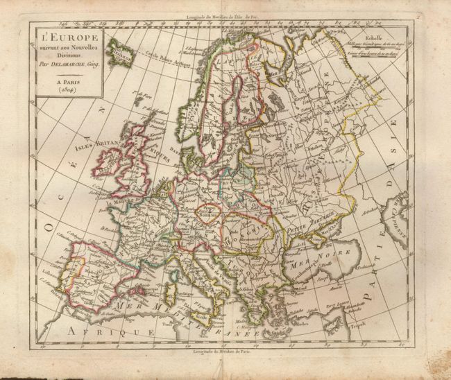
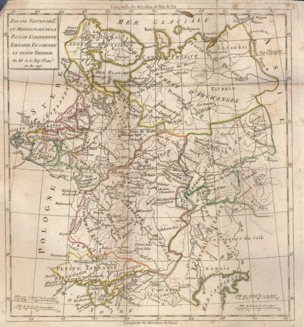
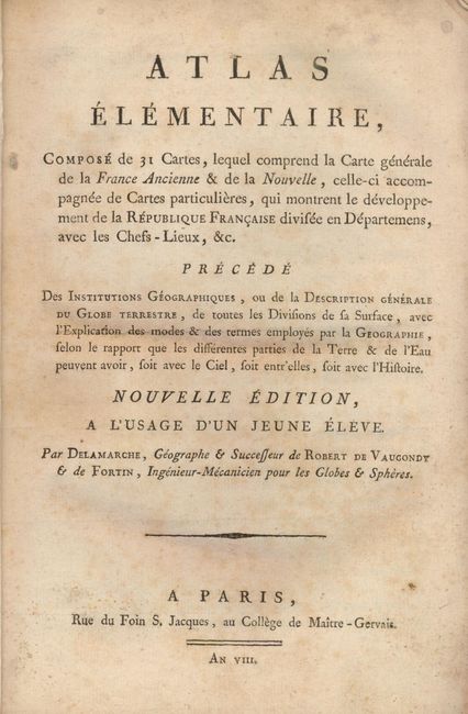
"Atlas Elementaire, Compose de 31 Cartes ... Nouvelle Edition a l'Usage d'un Jeune Eleve", Delamarche/Fortin

Subject: Atlases

Period: 1800 (circa)

Publication:

Color: Hand Color

Size:
6.3 x 8.8 inches
16 x 22.4 cm
Download High Resolution Image
(or just click on image to launch the Zoom viewer)

French atlas complete with 31 copper engraved maps in outline color. The maps include the world, continents, major European countries, the United States, the Holy Land, and the Departments of France. The maps of the world and North America show the discoveries of Captain Cook. The map of the United States shows its boundary on the Mississippi River and the thirteen original states per Janvier, 1783. Bound in original paper covered boards.

References:

Condition: B

Maps generally good with a few fold separations on the French maps and occasional minor soil and stains throughout. The binding is well worn with the spine missing.

Estimate: $300 - $375

Sold for: $200

Closed on 9/23/2009

Archived