Catalog Archive
Auction 129, Lot 837

"Carte de l'Oceanie Contenant l'Australie, la Polynesie et les Iles Asiatiques", Lapie, Alexander Emile & Pierre

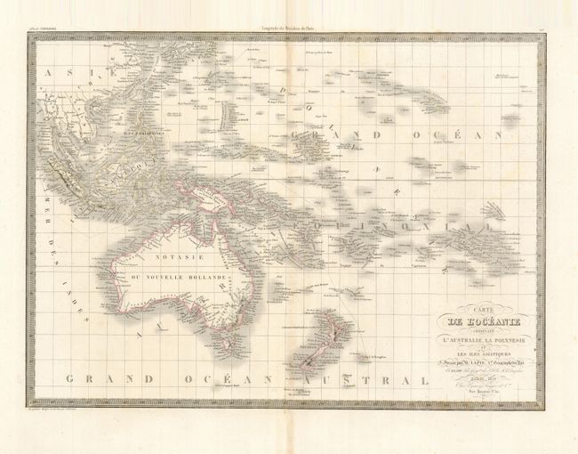
Subject: South Pacific Ocean

Period: 1829 (dated)

Publication: Atlas Universel de Geographie Ancienne et Moderne

Color: Hand Color

Size:
21.5 x 15.5 inches
54.6 x 39.4 cm
Download High Resolution Image
(or just click on image to launch the Zoom viewer)

This finely engraved chart covers the islands of the South Pacific from Southeast Asia through Hawaii, and from Australia through the Bass Islands. The map is intensely detailed, showing names of islands and island groups, harbors, channels and straits. This interesting map was published by Colonel Pierre Lapie (1777-1850) and his son Alexandre Emile, who was the Royal Geographer to the King in Paris. The map was engraved by Lallemand.

References: Tooley (Australia) #836.

Condition: B+

Lightly toned on centerfold with a few spots of foxing, mostly in the blank margins.

Estimate: $110 - $180

Sold for: $80

Closed on 9/23/2009

Archived