Catalog Archive
Auction 129, Lot 811

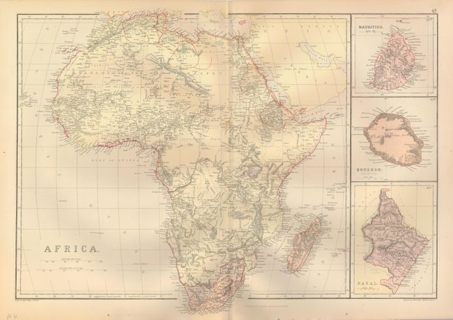
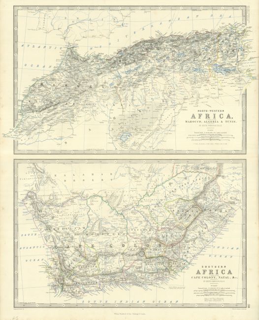
"[Lot of 2] Africa [and] North-Western Africa, Comprising Marocco, Algeria & Tunis / Southern Africa Comprising Cape Colony, Natal, &c.",

Subject: Africa

Period: 1866-82 (circa)

Publication:

Color: Printed Color

Size:
See Description
Download High Resolution Image
(or just click on image to launch the Zoom viewer)

Nice lot of maps with extremely good detail, reflecting the growth of cartographic knowledge in the late 19th century.

1) Africa, Blackie & Son, circa 1882 (19.8 x 13.3") printed color. Covers the entire continent with three large insets of Mauritius, Bourbon (Reunion) and Natal.
2) North-Western Africa, Comprising Marocco, Algeria & Tunis / Southern Africa Comprising Cape Colony, Natal, &c., Keith Johnston, Royal Atlas of Modern Geography published by William Blackwood & Sons, 1866. Two maps on a large folio sheet (19 x 24.5"), hand colored in outline with hydrology printed in blue. Each map measures 17.3 x 11" and is enclosed in separate borders.

References:

Condition: B+

Overall very good with a couple minor spots of foxing.

Estimate: $150 - $200

Unsold

Closed on 9/23/2009

Archived