Catalog Archive
Auction 129, Lot 808

"Carte d'Afrique dressee pour l'usage du Roy…", Delisle/Covens & Mortier
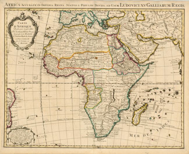
Subject: Africa

Period: 1730 (circa)

Publication:

Color: Hand Color

Size:
24.5 x 19 inches
62.2 x 48.3 cm
Download High Resolution Image
(or just click on image to launch the Zoom viewer)

This is the Covens & Mortier edition of Delisle's second map of the continent (1722). Delisle's first map of 1700 was a landmark in the mapping of the continent; the first to show the Nile's source in Lake Tana, rather than on the Ptolemaic concept, and the first to correctly show the width of the northern shape of Africa. In this updated map, Lake Maravi (Malawi) in Central Africa appears for the first time, and the Senegal and Niger Rivers are correctly separated. The major kingdoms and tribes are shown. Two decorative cartouches grace the map, and a Latin title appears in the top margin, Africa Accurate in Imperia, Regna, Status & Populos Divisa

References: Betz p. 498; Norwich #78; Tooley #70.

Condition: B+

Sharp impression on pleasantly ivory toned paper with original outline color. There is a faint stain in the Congo, else very good.

Estimate: $550 - $700

Sold for: $400

Closed on 9/23/2009

Archived