Catalog Archive
Auction 129, Lot 779
"Carte des Cotes de Malabar et de Coromandel…", Delisle/Schenk
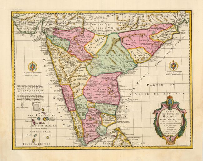
Subject: India
Period: 1733 (circa)
Publication:
Color: Hand Color
Size:
22.5 x 18 inches
57.2 x 45.7 cm
Download High Resolution Image
(or just click on image to launch the Zoom viewer)
(or just click on image to launch the Zoom viewer)