Catalog Archive
Auction 129, Lot 643
"Exactissima Tabula, qua tam Danubii Fluvii Pars Superior…", Visscher, Nicolas
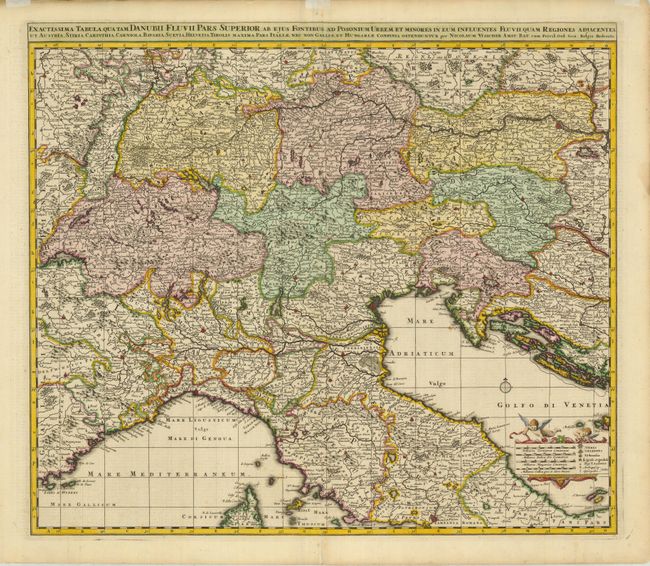
Subject: Southern Europe
Period: 1690 (circa)
Publication:
Color: Hand Color
Size:
22 x 19.3 inches
55.9 x 49 cm
Download High Resolution Image
(or just click on image to launch the Zoom viewer)
(or just click on image to launch the Zoom viewer)