Catalog Archive
Auction 129, Lot 528

"Imperium Caroli Magni Occidentis Imperatoris…", Robert de Vaugondy, Didier

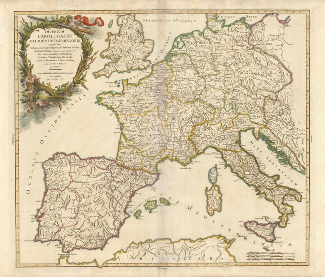
Subject: Western Europe

Period: 1752 (dated)

Publication:

Color: Hand Color

Size:
21.5 x 18.8 inches
54.6 x 47.8 cm
Download High Resolution Image
(or just click on image to launch the Zoom viewer)

This attractive and detailed map of Charlemagne's empire covers western Europe including part of the Balkans plus England and Wales. The outline color distinguishes the empire. Putti frolic in the foliage that makes up the large, decorative title cartouche. This map was the subject of controversy in a lawsuit between the engraver and publisher. Engraving was a time consuming and expensive process involving a cast of people and numerous steps. The testimony in this lawsuit highlights how easily errors were made on maps and how often they were left uncorrected; in this case due to delays in payment for the work.

References: Pedley #93 and pp 54-60.

Condition: B

Toned on centerfold.

Estimate: $150 - $200

Unsold

Closed on 9/23/2009

Archived