Catalog Archive
Auction 129, Lot 489

"Provinces Meridionales de l'Angleterre ou Cotes Septentrionales de la Manche…", Le Rouge, George Louis

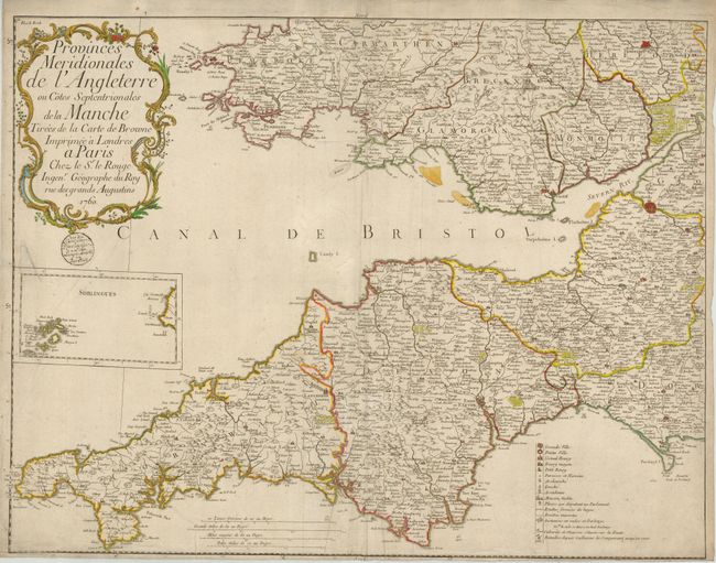
Subject: England & Wales

Period: 1760 (dated)

Publication:

Color: Hand Color

Size:
26.8 x 20.8 inches
68.1 x 52.8 cm
Download High Resolution Image
(or just click on image to launch the Zoom viewer)

This uncommon copper engraved map details the southwestern portion of England to include Cornwall, and Devon and the southern counties of Wales. The fortified cities of Exeter, Bristol, Bath, and Hampton are shown in a block grid. Other cities located by icon include Mitchell, Marazion, Falmouth, Killington, Lanceston, Straton, Wellington, Langadoc to mention a few. Embellished with a large rococo-style title cartouche, inset of the Sorlingues, and an extensive legend locating 16 different features via icon. Road distances are noted in furlongs and miles. Three distance scales at lower center. The folio map is dated 1760 in the cartouche.

References:

Condition: B

Dark impression, original hand coloring. Small wood-block stamp below cartouche appears to be that of the map seller. Close margin at bottom with a little loss to meridian numbers, some lazy creases along centerfold, and a small puncture at extreme left that is closed on verso. Shows much better than the condition suggests.

Estimate: $250 - $350

Sold for: $190

Closed on 9/23/2009

Archived