Catalog Archive
Auction 129, Lot 427

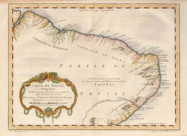
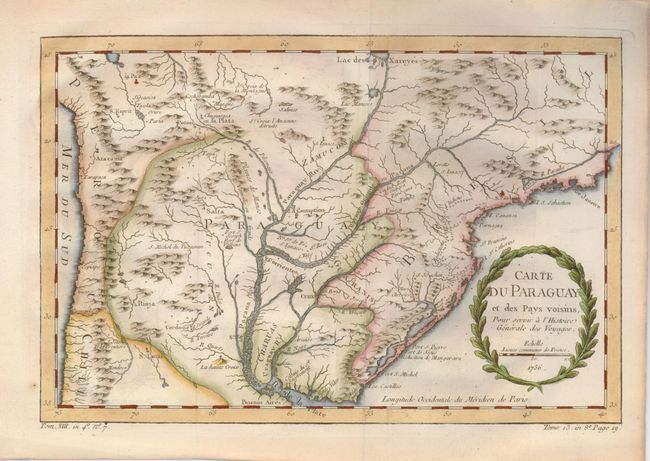
"[Lot of 2] Carte du Bresil Prem. Partie Depuis la Riviere des Amazones jus qua la Bay de Tous les Saints [and] Carte du Paraguay et des Pays Voisins", Bellin, Jacques Nicolas

Subject: Brazil and Paraguay

Period: 1756-1760 (circa)

Publication: L'Histoire Generale des Voyages

Color: Hand Color

Size:
12.2 x 8 inches
31 x 20.3 cm
Download High Resolution Image
(or just click on image to launch the Zoom viewer)

1) Carte du Bresil Prem. Partie Depuis la Riviere des Amazones jus qua la Bay de Tous les Saints. This finely engraved map covers from the mouth of the Amazon to Baía de Todos os Santos. Only coastal detail is shown with regions divided into the Capitaineries or hereditary harbor offices. The interior region is noted as being unknown and the domain of the Tapuyas Indian nation.

2) Carte du Paraguay et des Pays Voisins. This detailed chart covers the region of northern Argentina with Paraguay, Uruguay, southern Brazil and part of Bolivia and Chile. The Jesuit missions and numerous Indian villages are located.

References:

Condition: A

Faint toning along the centerfold on the Brazil map, else fine.

Estimate: $180 - $240

Sold for: $130

Closed on 9/23/2009

Archived