Catalog Archive
Auction 129, Lot 406

"A Survey of the Island of Trinidad by Capt. E. H. Columbine R.N. 1803", British Admiralty
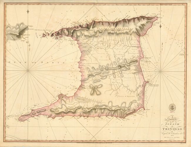
Subject: Trinidad

Period: 1816 (dated)

Publication:

Color: Hand Color

Size:
24.5 x 18.8 inches
62.2 x 47.8 cm
Download High Resolution Image
(or just click on image to launch the Zoom viewer)

This is a very scarce British Admiralty chart issued by the Hydrographical Office. Details are primarily confined to the coastlines where soundings, rocks, anchorages, and navigational notes are carefully denoted. The interior topography is shown with creeks, lakes, and marshes. The road from Arima to Port d'Esagna is shown as well as a few foot paths. The map was originally drawn by Edward H. Columbine in 1803 with additions made in 1816 by Thomas Hurd.

References:

Condition: A

Fine impression and original color with a bit of very faint offsetting.

Estimate: $1,000 - $1,200

Sold for: $750

Closed on 9/23/2009

Archived