Catalog Archive
Auction 129, Lot 392

"Carte de l'Ile de la Jamaique Extraite des Cartes Topographiques Angloises…", Depot de la Marine
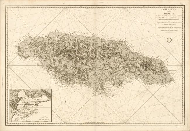
Subject: Jamaica

Period: 1786 (dated)

Publication:

Color: Black & White

Size:
34.5 x 23 inches
87.6 x 58.4 cm
Download High Resolution Image
(or just click on image to launch the Zoom viewer)

Fine, large-scale chart of the island of Jamaica with a meticulous inset of the ports of Kingston and Port Royal. The map is based on the 1763 surveys of Thomas Craskell and James Simson. It is rendered is a particularly graphic method that illustrates the topography with a three-dimensional quality. Details include locations of cities, towns, plantations, forts, army barracks, marshes, anchorages, soundings, and navigational hazards. The inset plan of the ports is particularly detailed. Prix Trois Francs outside neatline at right.

References:

Condition: A

Overall very good with a few very faint spots.

Estimate: $800 - $1,000

Sold for: $800

Closed on 9/23/2009

Archived