Catalog Archive
Auction 129, Lot 384

"A Plan of Cumberland Harbour on ye So. Side of Cuba Formerly call'd Walltenam Bay…", Durell, Philip

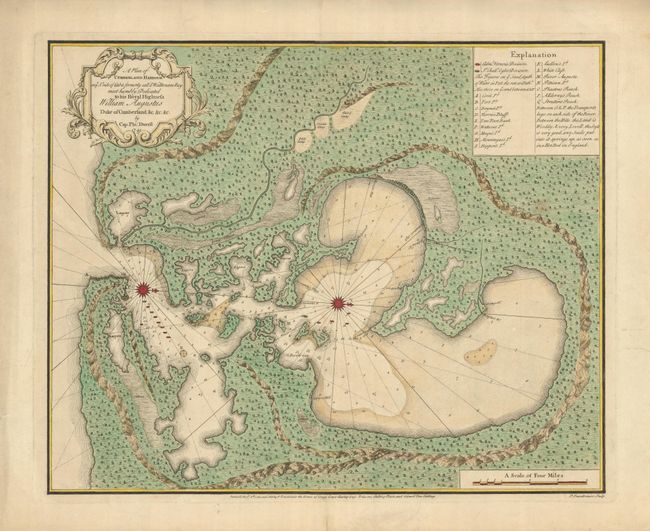
Subject: Cuba, Guantanamo Bay

Period: 1741 (dated)

Publication:

Color: Hand Color

Size:
22.5 x 18.5 inches
57.2 x 47 cm
Download High Resolution Image
(or just click on image to launch the Zoom viewer)

This exceedingly rare map of Guantanamo Bay in Cuba was prepared during Admiral Edward Vernon's expedition to the West Indies at the outbreak of the War of Jenkin's Ear. In March 1741, after a disastrous defeat at Cartagena, Vernon captured Guantanamo Bay and renamed it Cumberland Harbour. It remained for a short time in British hands before Vernon abandoned it after repeated guerilla attacks on his crew that was beset with tropical illnesses. The map shows the protected bay, surrounded by steep forested hills. The locations of Admiral Vernon and Admiral Ogle's ships are located along with the three military camps they built and the sources for fresh water. The map was prepared by Captain Philip Durell, the maker of several other maps of the region during the war. His maps are all rare, with this being the rarest. The Library of Congress has three of his maps, but not this one. The map was engraved and published by Peter Fourdrinier, London.

References: Cueto #293.

Condition: A

Fine impression and original color. There are a couple repaired tears in the margins and one small spot within the map, still overall very good.

Estimate: $6,000 - $10,000

Unsold

Closed on 9/23/2009

Archived