Catalog Archive
Auction 129, Lot 186

"Map of the United States, and Texas", Harper Bros.

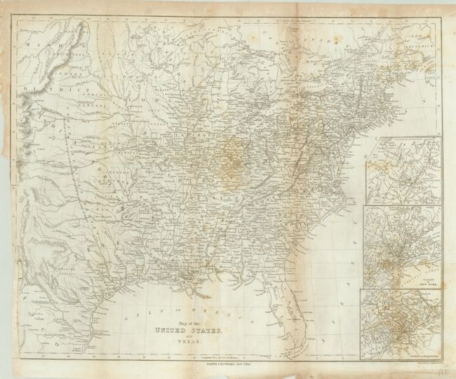
Subject: Eastern United States and Texas

Period: 1844 (circa)

Publication:

Color: Black & White

Size:
22.5 x 17.5 inches
57.2 x 44.5 cm
Download High Resolution Image
(or just click on image to launch the Zoom viewer)

This interesting map covers the United States west to the Rocky Mountains and the Republic of Texas. The map is a fine illustration of the expansion that was taking place at this time in history with settlement filling in the Mississippi Valley and the Indian Districts dominating the plains region. The Great American Desert cuts a wide swath through the heartland with the notation, This Desert is traversed by immense herds of Buffaloes, and inhabited by roving tribes of Indians. The Black Hills, Long's Peak, Pikes Peak and Spanish Peaks are located on the western edge of the map where Fort Laramie, Gants Fort and Bents Fort represent the tiny western military outposts of the United States. While the transportation network of roads and railways is well developed in the eastern states, the road from Independence Missouri to Santa Fe is the sole road shown west of the Mississippi River. Large insets detail the areas around Boston, New York City and Philadelphia. Engraved by C. Copley and printed on thin paper.

References:

Condition: B

Folding as issued and trimmed into neatline at lower left for binding. Some miss-folding, toning and light scattered foxing.

Estimate: $150 - $200

Sold for: $210

Closed on 9/23/2009

Archived