Catalog Archive
Auction 129, Lot 182

"Der Nordliche Theil der Vereinigten Staaten von Nord America…", Stieler, Adolph

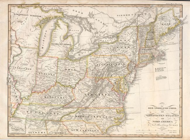
Subject: Eastern United States

Period: 1831 (dated)

Publication: Stieler's Hand Atlas

Color: Hand Color

Size:
16 x 12 inches
40.6 x 30.5 cm
Download High Resolution Image
(or just click on image to launch the Zoom viewer)

This German map covers the Midwest and the Eastern Seaboard. It provides good detail in the newly settled Midwest; Indiana, Illinois, Missouri, Michigan and Northwest Territories with several early forts and Indian tribes shown. A small inset follows the Missouri River west through Jefferson, Franklin, Chariton.

References:

Condition: B+

There are a few light spots of foxing in the map and some toning in the lower margin.

Estimate: $140 - $180

Unsold

Closed on 9/23/2009

Archived