Catalog Archive
Auction 129, Lot 181

"United States of America", Neele & Son

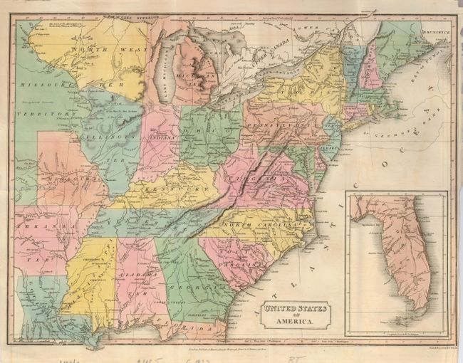
Subject: Eastern United States

Period: 1823 (dated)

Publication:

Color: Hand Color

Size:
17 x 12.5 inches
43.2 x 31.8 cm
Download High Resolution Image
(or just click on image to launch the Zoom viewer)

This well engraved map is from a period with very interesting mid-western frontier territories. The large North West Ter is in an uncommon configuration as it includes much of today's Wisconsin and part of Illinois in a north-south line. Michigan wraps around Lake Michigan to include all of the western shore, extending to include Chicago. Arkansas Tery. is in its oversized shape. The configuration of Illinois, Indiana and Ohio are bizarre with Illinois displaced far to the west of its actual location. Untitled inset at lower left continues Florida on the same scale. Map delineates wagon roads, the "Extended Boundary by various Treaties", watershed and many towns, forts, and Indian villages.

References:

Condition: B+

Beautiful, dark impression and fine original hand coloring. Short binding trim tear just into border and a couple small fold intersection splits, closed on verso with archival tape.

Estimate: $140 - $180

Sold for: $190

Closed on 9/23/2009

Archived