Catalog Archive
Auction 129, Lot 114

"Amerique Septentrionale", Meissas, Achille Pr. De

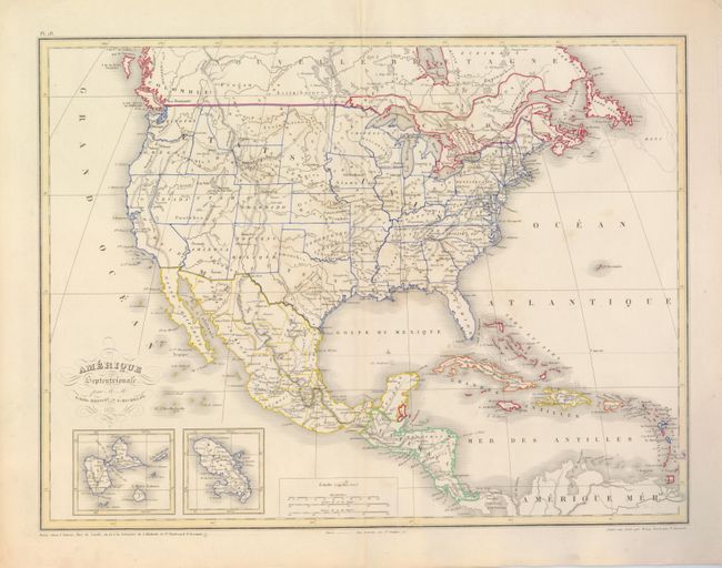
Subject: North America

Period: 1870 (dated)

Publication:

Color: Hand Color

Size:
19.3 x 14.5 inches
49 x 36.8 cm
Download High Resolution Image
(or just click on image to launch the Zoom viewer)

This delicately engraved map shows political divisions circa 1860-63 despite the map's date of 1870. Nevada encroaches on California to the Sierra Nevada range from about Lake Tahoe southward reminiscent of Johnson's map of the Southwest circa 1861. Arizona still has the wedge shaped northwestern boundary to include southern Nevada and Las Vegas. Utah is oversized with its boundary with Nevada a full degree further west. Wyoming is in an early configuration with its northwest corner following the Continental Divide. The large Dakota Territory is shown and Oklahoma is Indian Territory. Insets of the islands of Guadalupe and Martinique are at lower left. Engraved by Moisy.

References:

Condition: B+

Fine original outline color with a wide pallet of colors and with full, wide margins. A few very light foxing areas in map. Split in lower centerfold just to border, closed on verso.

Estimate: $130 - $160

Unsold

Closed on 9/23/2009

Archived