Catalog Archive
Auction 128, Lot 670

"La Description de Boheme selon ses plus Nobles Citez, Villes & Bourgades", Munster, Sebastian

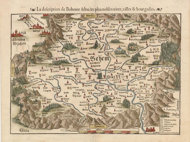
Subject: Czech Republic

Period: 1560 (circa)

Publication: La Cosmographie Universelle

Color: Hand Color

Size:
13.8 x 10.5 inches
35.1 x 26.7 cm
Download High Resolution Image
(or just click on image to launch the Zoom viewer)

This early woodcut map of today's Czech Republic centers on Prague with the mountainous region graphically depicted. The map is oriented with south at the top where the road to Vienna is shown. A key at lower right identifies the symbols used to distinguish the cities and towns as either controlled by the Bohemian monarchy or the Turks, and also whether it is Hussite or Catholic.

References:

Condition: A

Dark impression and lovely period-correct coloring. A small binding hole in the bottom margin has been repaired.

Estimate: $275 - $350

Sold for: $200

Closed on 5/20/2009

Archived