Catalog Archive
Auction 128, Lot 634

"Nova Alemanniae sive Sueviae Superioris Tabula", Jansson, Jan

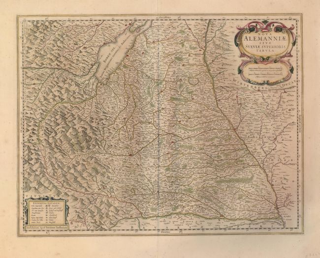
Subject: Central Europe

Period: 1647 (circa)

Publication:

Color: Hand Color

Size:
19.5 x 15 inches
49.5 x 38.1 cm
Download High Resolution Image
(or just click on image to launch the Zoom viewer)

A handsome map of the border region between Germany, Austria and Switzerland that shows the Danube at right and Lake Constance (Boden See) at the top. North is oriented to the right and the mountainous Alps are to the left. The map is decorated with a finely engraved title cartouche incorporating the scale of miles and another at lower left contains the key to symbols in Latin and German. German text on verso.

References:

Condition: B+

Nice original color with even toning.

Estimate: $200 - $250

Unsold

Closed on 5/20/2009

Archived