Catalog Archive
Auction 128, Lot 48

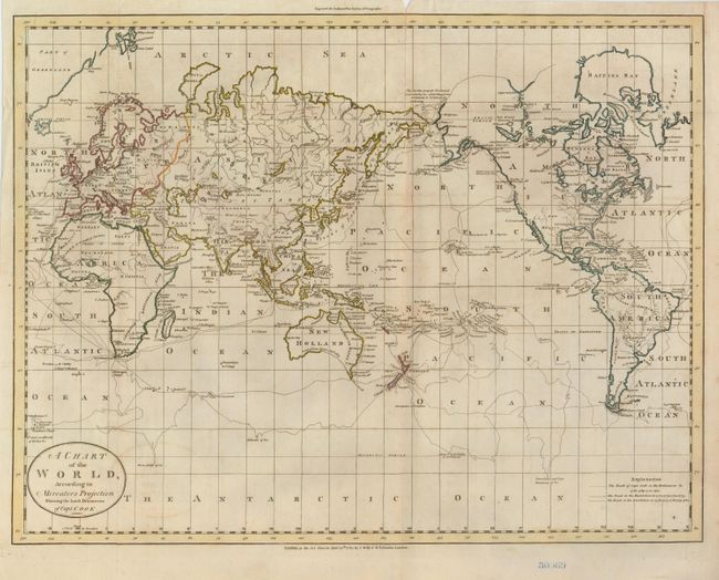
"A Chart of the World, According to Mercators Projection Shewing the latest Discoveries of Capt. Cook", Guthrie, William
Subject: World

Period: 1785 (dated)

Publication: New System of Geography

Color: Hand Color

Size:
18.5 x 14.5 inches
47 x 36.8 cm
Download High Resolution Image
(or just click on image to launch the Zoom viewer)

This interesting chart of the world presented on Mercator's projection details the discoveries made during Captain Cook's expeditions. Alaska is shown in a rudimentary shape and there is a notation that further exploration above the Arctic Circle was blocked by ice in July 1779.

References:

Condition: B+

A short fold separation at top is closed with archival tape and there is some minor toning and offsetting. There is a blue ink number stamped in the lower margin.

Estimate: $350 - $425

Sold for: $250

Closed on 5/20/2009

Archived